
Myrtle Beach Neighbors Block-Source Guide
A block inquiry is a comparison of separate, limited records. The address may be in City territory, an unincorporated Horry County enclave, or a postal area that crosses a jurisdiction line. Begin by confirming the physical parcel and let the custodians, rather than a map label, define the available record trail.
| Source | What It Shows About a Block | Access |
|---|---|---|
| Authorized Horry parcel GIS | Parcel geography and any labels visible in a live session | Free county account required |
| Horry Land Records | Parcel-specific fields shown by the authorized service | Free county account required |
| Horry Acclaim | Recorded parties and legal descriptions tied to documents | Official index; not a neighborhood roster |
| Master in Equity principal sales | Individual sale-list property and case context | Open current sale list with narrow scope |
| City Crime Prevention | Voluntary Neighborhood Watch program contact route | Contact office; no membership roster verified |
These sources describe parcels, filings, an individual legal event, or a community contact option. They do not prove who is physically present at every address, how households are related, or whether neighbors know one another.
Start With One Myrtle Beach Address and Jurisdiction
First verify the physical location rather than relying on a ZIP code or a familiar Myrtle Beach mailing label. The City comprehensive plan describes unincorporated Horry County enclaves surrounded by City territory, and postal geography is not a municipal-boundary map. A City administrative request may be appropriate for a focused City permit or report, but it will not supply a county deed. A county land record may identify a parcel while a City department holds a separate administrative file.
Record the source address exactly as entered, the date checked, and any official parcel identifier or legal description returned through an authorized session. A parcel identifier reduces the risk of joining similarly numbered properties, condominium units, common areas, or strips of land to the wrong location. For a full street-by-street document chain, move to the Myrtle Beach Street Directory; block research stays with the immediate area around one known address.
Myrtle Beach Account Gate
Horry County announced that, effective March 16, 2026, a free user login is required for property-address display in its GIS, Land Records, and Tax or Assessor services. The County's access-change notice is the current starting point for understanding that gate.
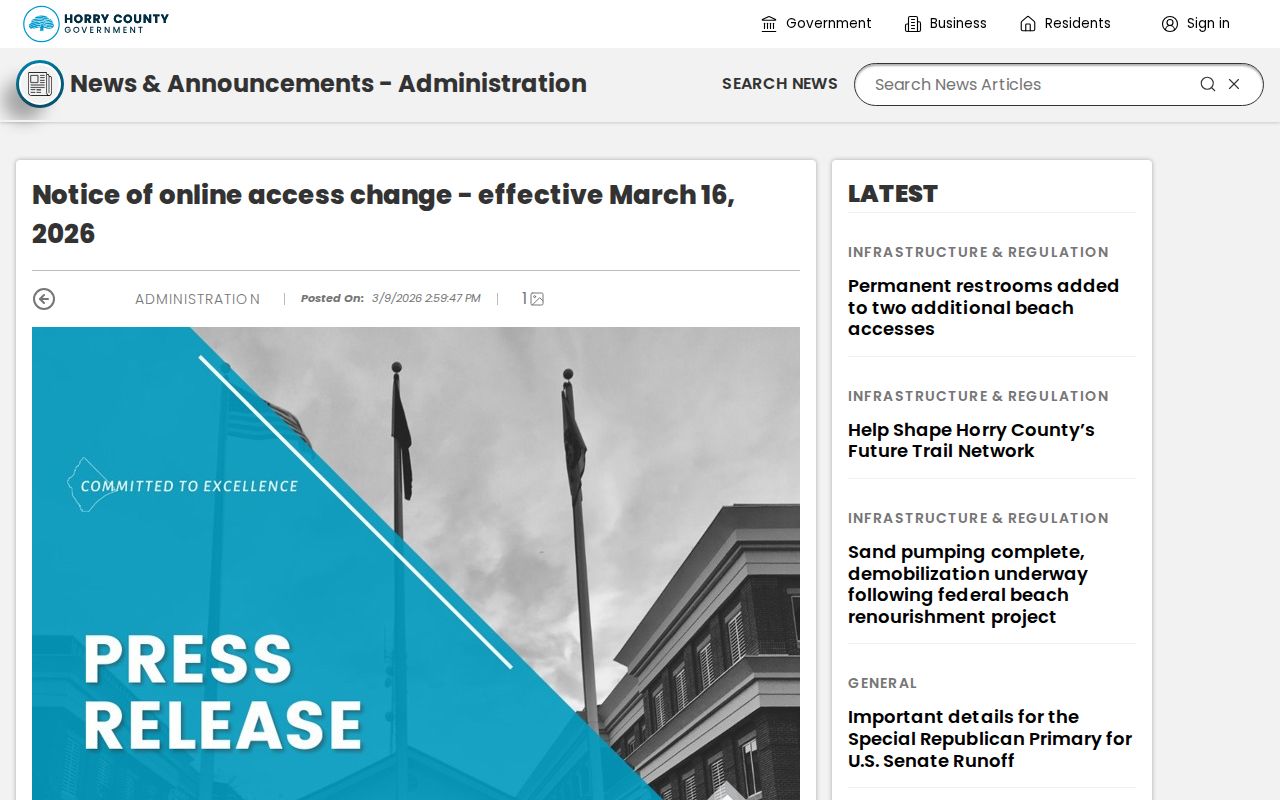
The pre-login research screen exposed account controls, not a live parcel card or mapping tools. As a result, no current adjacent-parcel control, radius feature, buffer, nearby-record list, or one-click owner map was observed. Do not assume those features exist. In an authorized session, use only controls actually visible, capture the parcel clues offered, and return to recorded plats or the Register of Deeds when boundary precision matters.
Myrtle Beach Parcel Mapping
The defensible neighbor method is an independent parcel review, not a bulk list. It begins only after the initial property has been lawfully identified and the user is in an authorized County service session.
- Locate the known address in the live Horry parcel GIS or Land Records service and note the displayed parcel ID and legal-description clue.
- Inspect only separately labeled, contiguous parcels that the live map makes available. Do not infer an adjacency from a street number alone.
- For each parcel, preserve its own identifier and record date, then compare its legal description with the relevant recorded-document trail.
- Use the Horry Acclaim index for party, document type, record-date, book/page, or legal-description research where a document question remains.
- Stop if the available fields are protected, incomplete, or ambiguous. A missing web display does not justify reconstructing it elsewhere.
This produces a map of sourced parcel facts. It does not establish that a named party occupies the parcel, owns every nearby interest, or is a present neighbor. A tax correspondence address, when visible, can differ from the physical location and should be treated as a limited administrative field.
Why a Tax Map Is Not a Survey of a Myrtle Beach Block
Horry County describes its parcel fabric as tax-map data, not a survey. Map lines are useful for tax and parcel reference, but exact legal geometry belongs in a recorded plat and, where necessary, professional survey evidence. The county's March 2026 account gate also means the live map labels and tools need to be verified inside the current service, not copied from an older guide. A screenshot never replaces the controlling recorded document.
Legal descriptions help avoid several common mistakes: treating a unit as a whole building, confusing a common area with a separate parcel, or matching an older street number to a current parcel without documentary support. The Register of Deeds request form accepts supporting clues such as TMS/PIN, address, and legal description. That is a better fallback than trying to derive a block boundary from a generalized map line.
Myrtle Beach Block Record Limits
Acclaim can connect a party to a recorded instrument and its legal description, but it is not a browseable neighborhood directory. Its party, legal-description, document-type, consideration, and date search routes are designed around filings. The Register of Deeds form documents an online surname-first-name route from 1984 forward, so earlier work may require the counter, the Horry County Memorial Library, archives, or a focused document request. Match legal descriptions across filings before calling them the same property.
The Horry County Master in Equity Principal Sales table has a different, even narrower function. It can show property and case information in a public sale context, along with related judgment or lien details. It is not a neighborhood change log, a title register, or evidence of who lives on a street. Read an individual sale entry only in its court-defined context, and obtain the underlying court or recorded document if the precise legal event matters.
There Is No Public Myrtle Beach Block Voter Browser
My SC Votes Voter Information requires county, name, date of birth, and the last four digits of the voter's Social Security number. It is an authenticated personal-information route, not a way to browse a street or block. South Carolina has public-inspection provisions and controlled voter-list order rules, but this research did not verify a public street, block, or ZIP query screen for Myrtle Beach.
The correct next question for voter materials goes to Horry County Voter Registration and Elections at 1515 Fourth Avenue in Conway, 843-915-5440. Ask about inspection, price, format, qualifying-purchaser requirements, and protected-address handling before attempting to obtain any list. A historical or current registration field would still be a dated administrative field, not proof of a complete block household.
Myrtle Beach Community Contact Is Not a Member Directory
Myrtle Beach Police Crime Prevention reports that it works with more than 20 active Neighborhood Watch programs and directs inquiries to 843-918-1806. That gives residents a voluntary community-contact route without implying that the City publishes group rosters, individual membership, or a complete neighborhood-association directory. The research found no official public page that identifies each group, its members, current boundaries, or private contact list.
Historical planning maps and community names can provide geographic context, but they are not proof of an active association or a roster. For a block's past context, use dated sources such as Chapin Memorial Library's in-library newspaper collection, Horry County archival resources, or the 1938 to 1949 Library of Congress Sanborn maps. They can date a place or reference, not identify current neighbors.
Myrtle Beach Registry Limits
The South Carolina offender-registry entry screen begins with CAPTCHA authentication before its geographic and name routes. Its official existence does not transform it into a general-purpose Myrtle Beach neighbor lookup.
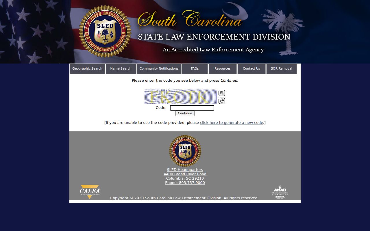
SLED warns that registry information can change and that use of registry information in a crime can increase penalties. Read an exact official entry only for the limited information it provides and never use it to draw broad conclusions about a block, target a person, or build an informal resident list. If immediate safety is at issue, use emergency services rather than internet research.
Myrtle Beach Neighbor Tools
Official records are created for a specific governmental purpose and retain a custodian, record date, jurisdiction, and access rule. Commercial compiled-data categories may blend older sources, omit updates, merge people with similar names, or charge for a presentation that cannot replace a custodian record. Neither category should be used to decide who belongs to a block.
| Category | Useful Question | Core Limitation |
|---|---|---|
| Official parcel or recorded record | What parcel or document fact did the custodian record? | May not establish present occupancy or household connection |
| Official court or sale record | What public procedural event occurred? | Not a full title, location, or neighborhood history |
| Commercial compiled-data category | Can it suggest a lead to verify? | May be stale, merged, incomplete, or misattributed |
When a source conflicts, preserve both dates and ask the office that created the official record for clarification. Do not average records into a conclusion about a named person.
Myrtle Beach Neighbors Privacy Boundaries
South Carolina's Victim Address Confidentiality Program, S.C. Code §16-25-130, allows a designated address for qualifying participants. Current protections in Title 30 also allow qualifying law-enforcement, corrections, and judicial personnel to seek restricted online display of specified home-address, telephone, and tax-map information. Private utilities, driver records, unrecorded household relationships, and protected addresses are outside a lawful block reconstruction. Do not try to obtain protected data through another record system.
Lawful use. Neighbor research is limited to lawful property curiosity, local history, civic understanding, and voluntary community contact. Do not use any record, map, or address to watch, harass, intimidate, or harm another person. South Carolina's stalking and harassment laws apply even when a fact was publicly accessible.