
Myrtle Beach ZIP Coverage
The Census profile identifies five ZCTAs that fully or partly intersect Myrtle Beach city geography: 29568, 29572, 29575, 29577, and 29579. That is the verified municipal-intersection list, not a promise that every address with one of those postal ZIPs is in the City. The postal directory is most useful when each label is kept in its proper postal or Census context.
| ZIP | Areas Covered | Post Office | Notes |
|---|---|---|---|
| 29568 | Census ZCTA fully or partly within Myrtle Beach city geography | No local USPS location verified in the research | Boundary-intersecting Census geography |
| 29572 | North-beach postal area; ZCTA fully or partly within City geography | Live Oak, 820 67th Avenue North | ZIP and City jurisdiction are separate |
| 29575 | Census ZCTA fully or partly within Myrtle Beach city geography | No local USPS location verified in the research | Postal geography reaches beyond the City line |
| 29577 | Central Myrtle Beach city ZIP context | Myrtle Beach, 505 North Kings Highway, 29577-9998 | Delivery context, not parcel identity |
| 29579 | Carolina Forest postal context; ZCTA fully or partly within City geography | Carolina Forest, 4025 Postal Way | Use a parcel source to check jurisdiction |
Do not add 29588 to the City-intersection list. A Horry County Clerk South Strand office uses a Myrtle Beach 29588 mailing address, but the research did not verify that ZIP as intersecting the municipal boundary. It is regional or county-service context, not City-boundary proof.
Myrtle Beach ZIP Maps
A ZIP Code is a U.S. Postal Service delivery-routing construct. A ZCTA is the Census Bureau's generalized geographic representation of ZIP service areas for statistical use. The City boundary is a municipal jurisdiction line. These are three different systems, and no one should be used as a substitute for either of the others. Not every ZIP has an identical ZCTA, and an address may carry a familiar Myrtle Beach postal label while falling outside City jurisdiction.
Census ZCTA guidance explains why statistical ZCTA maps should not be treated as Postal Service delivery maps. It supports the five-ZCTA municipal-intersection list, while leaving an address-level City decision to an authorized parcel, GIS, or City source.
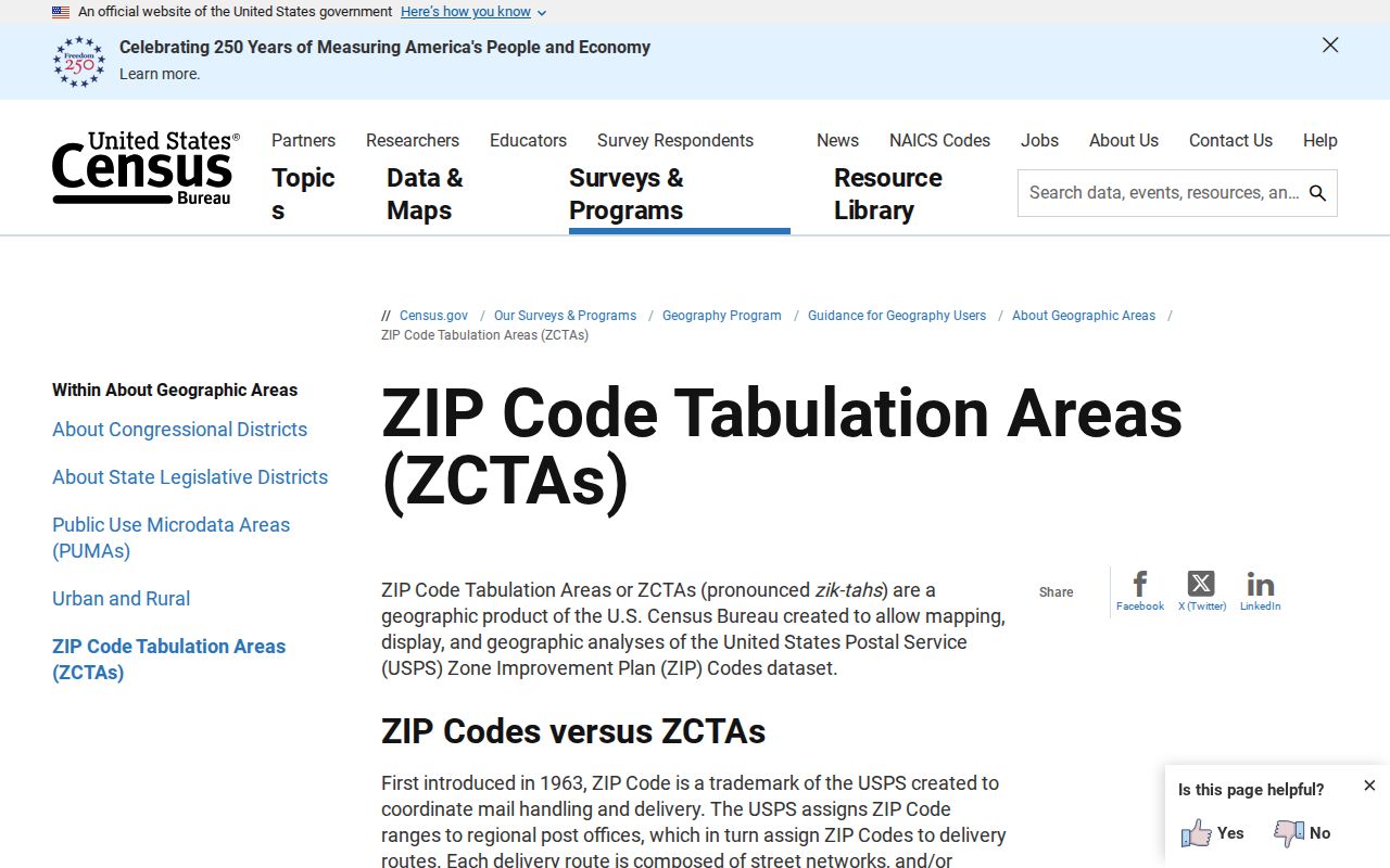
The Census explanation supplies the needed boundary caution before a ZIP is used in local research. It does not identify residents, parcel ownership, or the correct records custodian for a specific street address.
Myrtle Beach ZIP Delivery Checks
Use USPS first when the question is which postal ZIP belongs with one complete street address. The official Myrtle Beach location is at 505 North Kings Highway and lists 29577-9998. The locations tool also identifies Live Oak at 820 67th Avenue North for 29572 and Carolina Forest at 4025 Postal Way for 29579. These points are useful delivery references, not municipal-boundary markers.
The official USPS Myrtle Beach location listing is a practical starting point for the central postal context. Enter the complete address in the current USPS address service when an address-specific ZIP is needed, then retain the returned postal format with the date of the check.
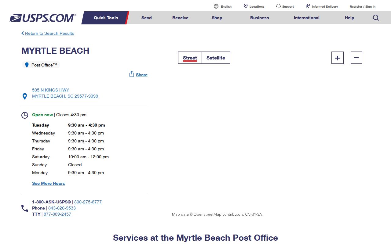
A USPS result verifies delivery routing. It does not prove that the property is inside City limits, identify a legal parcel, or create a ZIP-wide resident list.
Myrtle Beach ZIP Mail Context
The City uses 29578 in the mailing address for P.O. Box 2468. That establishes a City administrative mail context only. It does not establish a street-delivery area or a municipal-boundary map for 29578, so a physical address still needs USPS verification and a separate jurisdiction check.
Office address, mailing ZIP, record jurisdiction, and property location are different facts. The City FOIA counter is on Broadway Street in Myrtle Beach, while several county record counters are in Conway. Sending a request or choosing a custodian based only on a mailing ZIP can lead to the wrong office.
Search One Myrtle Beach ZIP
A ZIP is a starting label, not a way to produce a roster. Work from one complete address and keep the postal check, jurisdiction check, and land-document identifiers in separate notes. The verified workflow avoids assuming that postal geography selects the proper City or Horry County record path.
- Check the full address with USPS to confirm the current delivery ZIP and formatting.
- Use an authorized Horry parcel or GIS source, or a City source, to verify whether the location is inside Myrtle Beach jurisdiction.
- For a land document, record the legal description or TMS/PIN from the authorized property source.
- Use that legal description, TMS/PIN, party name, document type, or date in the appropriate land-record workflow.
- For a street-level sequence after the parcel is narrowed, use the Myrtle Beach street directory.
Horry County requires a free account for online property-address display in GIS, Land Records, and Tax/Assessor services. Register directly with the County, review the live terms, and do not treat the access gate as proof that an official record is unavailable.
Myrtle Beach ZIP Search Limits
No Horry property, GIS, voter, Register of Deeds, or court portal was verified to accept a ZIP filter. Horry Land Records and parcel GIS are behind the County account gate. My SC Votes is a personal information screen that asks for county, first and last name, date of birth, and the last four digits of a Social Security number, not a ZIP browse. The voter-data order process describes county, district, and other criteria, but no public ZIP option was observed.
| USPS address check | Use for current delivery routing of one complete address, not a list of people. |
|---|---|
| Horry Land Records or GIS | Use after authorized access for parcel and jurisdiction research; a current ZIP field was not verified. |
| Horry ROD Acclaim | Use party, book/page, legal description, document type, consideration, or record date modes; no ZIP mode was verified. |
| My SC Votes | Personal authenticated information route, not an open ZIP or name directory. |
Do not promise residents by ZIP from these systems. A ZIP can help orient an address, but the documented local search controls point to a party name, legal description, parcel identifier, address, or court criteria instead.
Myrtle Beach ZIP Parcel Terms
Postal labels can change or cover broad areas, while land records need a property identifier that can survive those differences. Keep the physical location, administrative mail destination, and recorded parcel description distinct before reading a deed or plat.
- ZIP+4
- An added four-digit segment that helps USPS sort mail more precisely after the five-digit ZIP Code. It is still a delivery identifier, not a City boundary.
- ZCTA
- A Census Bureau generalized geography based on ZIP service areas for statistical use. It is not a municipal-jurisdiction line.
- P.O. Box ZIP
- A postal designation used with a post-office box address. It should not be treated as the map of street delivery.
- Carrier route
- A USPS mail-delivery grouping used for routing. It is not a parcel, ownership, or City-boundary field.
- Situs, mailing, legal description
- The situs is the physical parcel location; the mailing address receives correspondence; the legal description identifies land in recorded terms.
Myrtle Beach ZIP Land Bridge
For land research, the legal description or TMS/PIN is the bridge from a street address to a recorded document. Horry's Register of Deeds copy-request form accepts a TMS/PIN, property address, or legal description as supporting information. Acclaim separately provides legal-description and memo search routes, which is why an old postal label should not replace the parcel identifier.
Recorded documents are countywide instruments. An address in a familiar Myrtle Beach postal area may still require a City departmental record, a County record, or both, depending on the question. First identify jurisdiction, then match the request to the proper custodian and use the legal description to keep the land trail connected.
Note: A tax-map parcel layer provides taxation context and is not a survey or a substitute for a recorded plat.
Myrtle Beach ZIP Jurisdiction
Myrtle Beach's postal and municipal geographies diverge in a way that has a direct records effect. The City comprehensive plan describes 37 unincorporated Horry County enclaves surrounded by City territory. An address close to a City street or carrying a familiar Myrtle Beach postal locality can therefore fall in County jurisdiction for a permit, land, or service record.
Before selecting a City FOIA or permit route, verify City limits through an authorized parcel or City planning source. Before treating a Horry record as the only local authority, check whether the question is about a countywide land or court record, or whether a City departmental record may also matter. Postal delivery labels do not resolve that choice.
Myrtle Beach ZIP Date Clues
An older address record can be checked in sequence without assuming postal continuity. Pair a dated newspaper or confirmed historic directory reference with the appropriate 1938-1949 Sanborn sheet for block and structure context. Then use the parcel's legal description and a recorded document to test whether the land reference connects to the address under study.
Historic evidence has different roles. The Sanborn maps show places and structures, not residents. Newspapers can preserve dated notices but may contain errors. A recorded land instrument follows its own indexing rules. Keeping the source type and date attached to each result is more reliable than reading a modern ZIP label backward into the past.